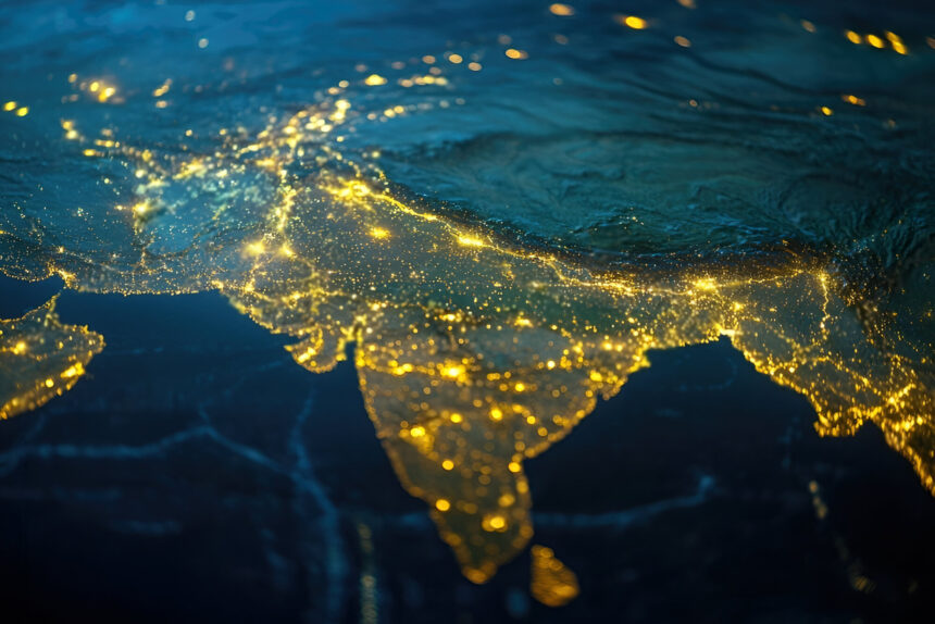
India, the seventh-largest country in the world, is a land of incredible geographical diversity. From the snow-capped Himalayas in the north to the tropical beaches of the south, and from the arid deserts of the west to the lush green plains in the east — the geography of India is as varied as its culture and heritage.
In this blog post, we’ll explore the major geographical features of India, including its physical divisions, climate, rivers, and natural resources.
1. Introduction to India’s Geography
-
Location: India lies in South Asia, between latitudes 8°4’N and 37°6’N and longitudes 68°7’E and 97°25’E.
-
Area: 3.28 million square kilometers.
-
Borders: Shares international borders with Pakistan, China, Nepal, Bhutan, Bangladesh, and Myanmar. It is also close to Sri Lanka and the Maldives in the south.
-
Coastline: Over 7,500 km long, touching the Arabian Sea in the west and the Bay of Bengal in the east.
2. Major Physical Divisions of India
India’s physical geography is divided into six major regions:
a) The Himalayan Mountain Range
-
Forms the northern boundary of India.
-
Home to the world’s highest peaks including Mount Everest (on the Nepal border) and Kanchenjunga (India’s highest peak).
-
Divided into the Greater Himalayas (Himadri), Lesser Himalayas (Himachal), and the Shivalik Hills.
b) The Indo-Gangetic Plains
-
Fertile plains formed by the Indus, Ganga, and Brahmaputra rivers.
-
Covers states like Punjab, Uttar Pradesh, Bihar, and West Bengal.
-
Densely populated and agriculturally rich.
c) The Peninsular Plateau
-
An ancient landmass made of igneous and metamorphic rocks.
-
Divided into Central Highlands and Deccan Plateau.
-
Rich in minerals like iron ore, coal, and manganese.
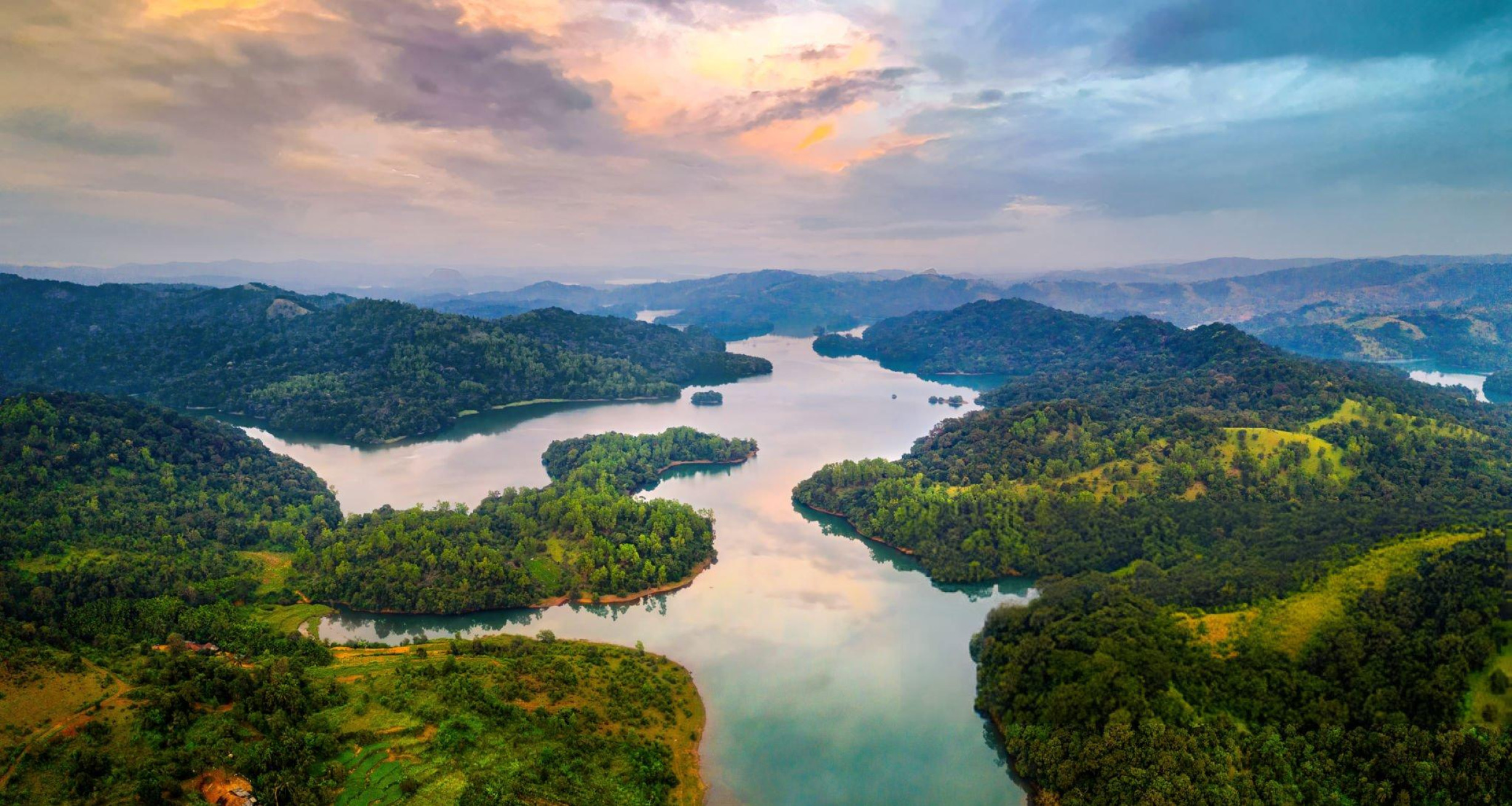
d) The Western and Eastern Ghats
-
Mountain ranges flanking the Deccan Plateau.
-
Western Ghats are UNESCO World Heritage Sites and biodiversity hotspots.
e) The Thar Desert
-
Located in Rajasthan, this is India’s only major desert.
-
Characterized by sand dunes, sparse vegetation, and extreme temperatures.
f) The Coastal Plains and Islands
-
India has western (Konkan & Malabar) and eastern (Coromandel) coastal plains.
-
Major islands include Andaman & Nicobar (Bay of Bengal) and Lakshadweep (Arabian Sea).
3. Climate of India
India experiences a tropical monsoon climate, with four major seasons:
-
Winter (Dec–Feb): Cool and dry.
-
Summer (Mar–Jun): Hot and dry.
-
Monsoon (Jun–Sep): Heavy rainfall, especially in the Western Ghats and Northeast.
-
Post-Monsoon (Oct–Nov): Transition phase with retreating rains.
Interesting Fact: Mawsynram in Meghalaya receives the highest rainfall in the world.
4. Major Rivers of India

India’s rivers are classified into two groups:
a) Himalayan Rivers
-
Perennial rivers with snow-fed origins.
-
Major ones: Ganga, Yamuna, Brahmaputra.
b) Peninsular Rivers
-
Mostly rain-fed and seasonal.
-
Major ones: Godavari, Krishna, Mahanadi, Narmada, and Kaveri.
Rivers are crucial for agriculture, drinking water, hydroelectricity, and transportation.
5. Natural Resources and Biodiversity
-
Forests: India has 24% forest cover. Home to national parks like Jim Corbett, Kaziranga, and Sundarbans.
-
Minerals: Rich in coal, iron ore, bauxite, and mica.
-
Wildlife: Tigers, elephants, lions, rhinos, and over 1,200 species of birds.